17th February
In spite of my general distrust of everything ‘St Albans’ we’re back, less than 2 miles north of the city centre. Once again my hackles are raised! St Albans, a city?! A quick consultation of Wikipedia and I discover that between 1877 and 1888 any municipal borough in which an Anglican see was established was entitled to petition for city status. St Albans applied and was granted city status in spite of Home Office opposition which dismissed St Albans as “a fourth or fifth rate market town”…now, there’s someone who speaks my language.
We park in front of St Leonard’s Church and head out along the Hertfordshire Way, looping around the bottom of Heartwood Forest before following the lanes as far as the Brocket Hall Estate. We follow the River Lee (not that one!) to Wheathampstead before returning through the evocatively named Nomansland and Heartwood Forest.
We’d love to come back and visit Heartwood Forest once it’s established, it will be some spectacle once all the planting has matured…that will be a few years hence…and who knows where we’ll be by then. Neverthelesss, an enjoyable 10.6 mile walk on a crisp February morning.
Sandridge picture gallery (more pictures on Flickr):


Distance: 10.6 miles ; Difficulty: Moderate
Postcode for Satnav: AL4 9DL
![]()
![]()
![]()
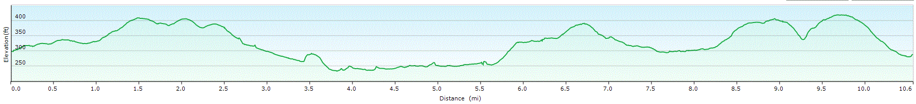
Sandridge walk profile

Pingback: Great Offley | Where Angells Tread!