25th October
A walk with unfinished business! Not being local we under-estimated how long it would take us to drive to Exmoor. Added to which, for the last 10miles we followed a meandering coach-load of pensioners up onto the Moor. These coaches should only be allowed to travel at certain times of day…probably between the hours of 8pm and 6am! Anyhow, we arrived late which put all our plans out of sync.
With a 14mile walk from Parracombe planned it was always going to be a long day but starting at 11am was an additional handicap. We parked in the lay-by on the A39. On reflection not something I’d recommend. For the first 10mins of our walk we followed the road. This meant leaping into the hedge whenever a car or van (or coach-load of pensioners) appeared around the corner. Not cool!
From the A39 we dropped down into the village. Well, in reality we slipped and slid our way all the way down. Some of the mud was beyond runny…and our walk had not really started. Still, Parracombe is quaint and we got some good pictures of the village nestled in the valley both on the way down and as we climbed back up to Churchtown.
From here we followed the lanes over Parracombe Common as far as Martinhoe Cross before turning south east and striking out for the Moor. In contrast to earlier in the week, the sun was out and the Moor looked inviting rather than foreboding. Woolhanger Farm was busy as we walked through but our progress came to a shuddering halt as we reached the fields beyond. The combination of two days of rain, poor drainage and a herd of cows had left the fields unbelievably muddy. We picked our way slowly across the first and were half way across the second before we admitted defeat. There was no way we were going to finish this walk today. Giving up, we retraced our steps.
Truth be told I was grumpy for the rest of the day-I hate not completing what we set out to do…one day we’ll be back and do the walk properly…including choosing a drier month and arriving at a sensible time. Nevertheless, still 9.3 miles.
Parracombe picture gallery (more pictures on Flickr):


Distance: 9.3 miles ; Difficulty: Moderate
Postcode for Satnav: EX31 4QG
![]()
![]()
![]()
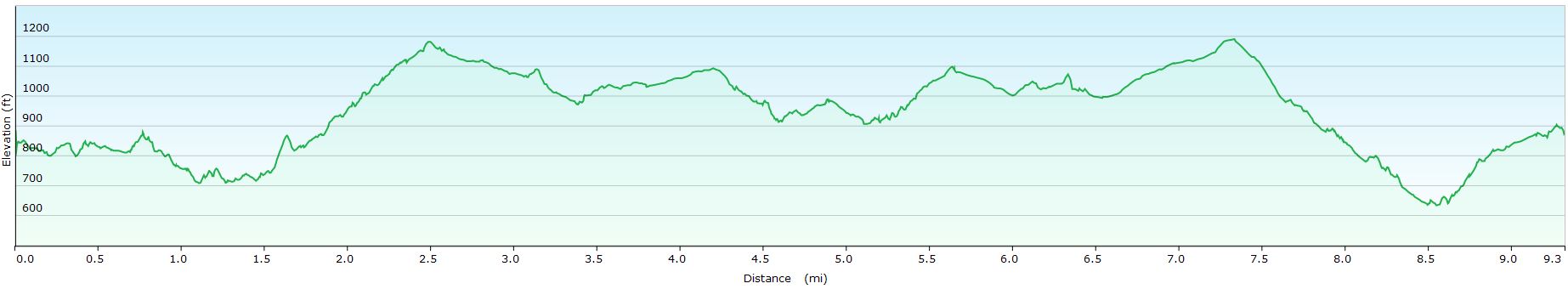
Parracombe walk profile

Pingback: Belstone | Where Angells Tread!
Pingback: Ringshall | Where Angells Tread!